Free Online
Remote Sensing Courses and Certifications
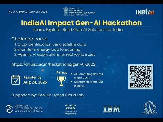
Analyze satellite imagery and geospatial data for environmental monitoring, disaster management, and urban planning applications. Master GIS integration and image processing using open-source tools through courses on Swayam, Coursera, and YouTube, from wildfire detection to natural hazard assessment.
Remote Sensing topics
Showing 460 courses
Filter by
Filters
-
-
Level
-
Duration
-
Language
-
-
- YouTube
- 15 minutes
- Self-Paced
- Free Video
-

- YouTube
- 30 minutes
- Self-Paced
- Free Video
-
- YouTube
- 1 hour 2 minutes
- Self-Paced
- Free Video
-

- YouTube
- 58 minutes
- Self-Paced
- Free Video
-
- YouTube
- 17 minutes
- Self-Paced
- Free Video
-
- YouTube
- 1 hour 2 minutes
- Self-Paced
- Free Video
-
- YouTube
- 48 minutes
- Self-Paced
- Free Video
-
-
- YouTube
- 1 hour 5 minutes
- Self-Paced
- Free Video
-
- YouTube
- 41 minutes
- Self-Paced
- Free Video
-
- YouTube
- 54 minutes
- Self-Paced
- Free Video
-
- YouTube
- 23 minutes
- Self-Paced
- Free Video
-
- YouTube
- 1 hour 7 minutes
- Self-Paced
- Free Video
-

- YouTube
- 1 hour 10 minutes
- Self-Paced
- Free Video
-
- YouTube
- 20 minutes
- Self-Paced
- Free Video
-
- YouTube
- 46 minutes
- Self-Paced
- Free Video
-


