Online
GIS Courses and Certifications
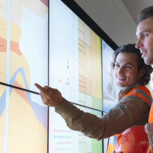
Master spatial analysis, mapping, and remote sensing to solve real-world environmental and urban challenges. Learn industry-standard tools like ArcGIS, QGIS, and Google Earth Engine through courses on Coursera, edX, and Udemy, from data acquisition to 3D visualization and web-based applications.
Showing 489 courses
Filter by
Filters
-
-
Level
-
Duration
-
Language
-
-
- Coursera
- 26 weeks, 7 hours a week
- Self-Paced
- Paid Course
- 5 courses
-
- Coursera
- 21 hours 18 minutes
- Self-Paced
- Paid Course
-
- Coursera
- 14 hours 17 minutes
- Self-Paced
- Paid Course
-
- Coursera
- 1 day 2 hours 36 minutes
- Self-Paced
- Paid Course
-
- Coursera
- 8 weeks, 10 hours/week
- Self-Paced
- Paid Course
- 4 courses
-
- Coursera
- 20 hours 28 minutes
- Self-Paced
- Paid Course
-
- Coursera
- 18 hours 21 minutes
- Self-Paced
- Paid Course
-
-
- Coursera
- 11 hours 7 minutes
- Self-Paced
- Paid Course
-
- Coursera
- 16 hours 29 minutes
- Self-Paced
- Paid Course
-
- YouTube
- 8 hours
- Self-Paced
- Free Video
-
- Udemy
- 1 hour 17 minutes
- Self-Paced
- Paid Course
-
- Udemy
- 14 hours 42 minutes
- Self-Paced
- Paid Course
-
- Udemy
- 5 hours 31 minutes
- Self-Paced
- Paid Course
-
Do you want to start GIS Career with proper guideline and Basic Knowledge, then ENROLL this Course..
- Udemy
- 1 hour 54 minutes
- Self-Paced
- Free Online Course
-
- Udemy
- 13 hours 43 minutes
- Self-Paced
- Paid Course
-