Free Online
ProRaster Scientific Courses and Certifications
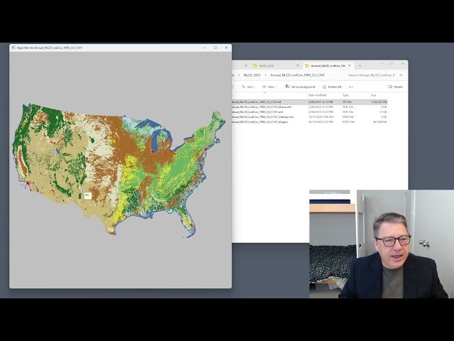
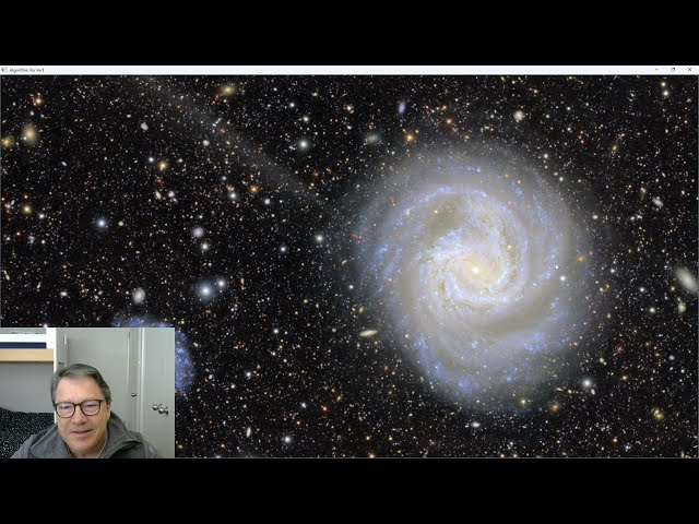
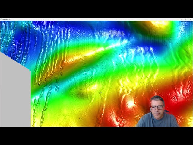
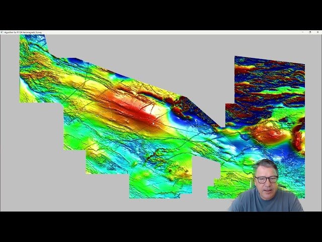
Master satellite imagery analysis, multispectral data processing, and NDVI calculations using ProRaster Scientific software. Access comprehensive tutorials on YouTube from Roberts Geospatial Engineering, covering 3D mapping, raster classification, and real-world applications like flood mapping and biomass assessment.
Showing 37 courses
Filter by
Filters
-
-
Level
-
Duration
-
Language
-
-
- YouTube
- 37 minutes
- Self-Paced
- Free Video
-

- YouTube
- 29 minutes
- Self-Paced
- Free Video
-

- YouTube
- 25 minutes
- Self-Paced
- Free Video
-
- YouTube
- 11 minutes
- Self-Paced
- Free Video
-

- YouTube
- 12 minutes
- Self-Paced
- Free Video
-
- YouTube
- 15 minutes
- Self-Paced
- Free Video
-
- YouTube
- 17 minutes
- Self-Paced
- Free Video
-
-
- YouTube
- 41 minutes
- Self-Paced
- Free Video
-
- YouTube
- 20 minutes
- Self-Paced
- Free Video
-
- YouTube
- 13 minutes
- Self-Paced
- Free Video
-
- YouTube
- 15 minutes
- Self-Paced
- Free Video
-
- YouTube
- 40 minutes
- Self-Paced
- Free Video
-

- YouTube
- 33 minutes
- Self-Paced
- Free Video
-

- YouTube
- 39 minutes
- Self-Paced
- Free Video
-

- YouTube
- 38 minutes
- Self-Paced
- Free Video
-


