Completed
Introduction
Class Central Classrooms beta
YouTube videos curated by Class Central.
Classroom Contents
Rendering Satellite Imagery in ProRaster Scientific - Tutorial
Automatically move to the next video in the Classroom when playback concludes
- 1 Introduction
- 2 Building an RGB algorithm manually
- 3 The Multispectral Scene Browser
- 4 "Render" vs "Display"
- 5 RGB Band Combination Dialog
- 6 Adding a layer
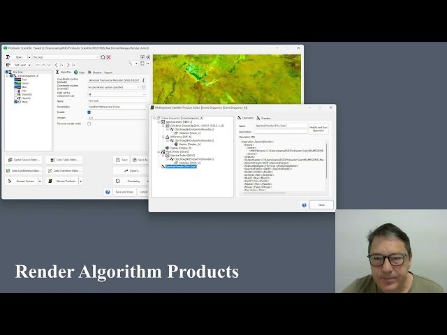
- 7 The Scene Assembly Virtual Raster
- 8 The Multispectral Product Editor
- 9 "Now" vs "Algorithm"
- 10 Preview map
- 11 Rendering saved algorithms
- 12 Finding product operation virtual rasters and algorithms
- 13 Adding new RGB band combinations
- 14 Controlling the time dimension
- 15 Changing the data transform
