Completed
40:41 Perceived Lightness Difference
Class Central Classrooms beta
YouTube videos curated by Class Central.
Classroom Contents
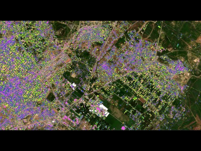
Israel-Hamas War 2024: Assessing Gaza Strip Building Damage from Sentinel2 Satellite Imagery
Automatically move to the next video in the Classroom when playback concludes
- 1 0:00 Introduction
- 2 1:51 UNOSAT Building Damage Assessment Dashboard
- 3 4:54 Methodology summary
- 4 9:18 Downloading Sentinel2 data
- 5 11:44 Importing Sentinel2 into ProRaster
- 6 14:57 Creating a Scene Sequence
- 7 17:50 RGB rendering using bands 8-3-1
- 8 19:40 Creating a Gaza polygon
- 9 21:00 Creating a building mask using NDVI
- 10 28:41 Creating a building mask from a Street Map WMS
- 11 36:34 Visualising the destruction
- 12 40:41 Perceived Lightness Difference
- 13 45:23 Visualising the changes
- 14 48:14 Computing the damaged area
- 15 52:24 Final visualisation and summary
- 16 0:46 Displaying the terrain raster
