Completed
Geographic Information Systems (GIS) Fundamentals: **NEW VERSION 2020 - SEE LINK BELOW**
Class Central Classrooms beta
YouTube videos curated by Class Central.
Classroom Contents
ArcMap 10.X Geographic Information Systems (GIS) Tutorials
Automatically move to the next video in the Classroom when playback concludes
- 1 Geographic Information Systems (GIS) Fundamentals: **NEW VERSION 2020 - SEE LINK BELOW**
- 2 GIS metadata: A Technical Video Lecture
- 3 File Geodatabases: A Technical Video Lecture
- 4 Spatial Queries, Table Joins, and Relates: A Technical Video Lecture
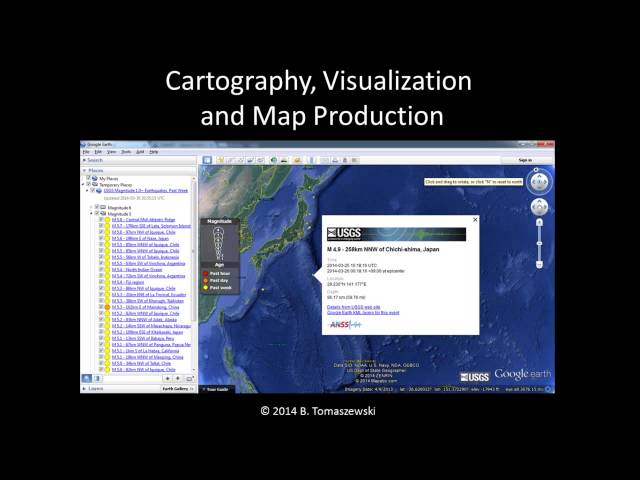
- 5 Cartography and Geographic Information Systems (GIS): A Technical Video Lecture
- 6 Basic Spatial Analysis Geographic Information Systems (GIS): A Technical Video Lecture
- 7 Working MS Excel data in ArcMap and Working with XY Event Data: A Technical Video Lecture
- 8 Getting a Geographic Information Systems (GIS) Job – Advice, Examples, and Tips #Employment #Careers
